Willamette Valley Scenic Bikeway
The Rerun
The obvious (but only to me) solution was to take another day and ride back to Champoeg. After all, Eugene is only 100 miles form Portland, so it couldn't be more than about 80 miles from Coburg to Champoeg.
While seeking recommendations for somewhere to stay near Coburg, I was fortunate enough to be hooked up with the Bike Friday Mafia, and was offered accommodation in Eugene with Tim and Lynette, both of whom work for Bike Friday. Lynette had been offered a complementary registration on the CO weekend in exchange for a publicity article, so I was able to meet her on the ride, and act as foreground interest in some of her publicity photos. I also rode with various other friends whom I hadn't seen for quite a while; it was a great weekend.
After filling our glycogen windows in Coburg on Sunday afternoon, Lynette and I headed off to Eugene, meeting Tim on his way from the advertised finish at Armitage County Park to meet us. I had just the minimum of overnight gear in my Vaude seat bag (thank you, Nora!), but Lynette was encumbered with a sizable rucksack, and we were glad to meet Tim and fill his capacious panniers.
It turned out to be twelve miles to Tim's condo in West Eugene, a distance I retraced on Monday morning shortly after 9am, following a brief visit to the Bike Friday showroom. The bike path alongside Amazon Creek was delightful riding in a light drizzle, and I was soon in Downtown Eugene, which was largely deserted. Coburg Road is well signposted from Downtown, but I'm sure that there is a better way to get to it than the limited access highway that I used to cross the Willamette. It was now raining in earnest.
Within 50 minutes I was back in Coburg — indeed, I was back at the very park at which the CO weekend ride had concluded on Sunday night. I half expected to see Susan and Matt camped under the trees, sitting in their cozy tent drinking hot cappuccinos and waiting for the rain to stop. I was disappointed, but the toilets provided me with an opportunity to wash the grit from my water bottles and clean up a bit.
Coburg road continues North-by-North-West another 13 miles to the railroad town of Harrisburg, where I was hoping to find a cafe and a hot drink after more intermittent rain and drizzle. In fact, there didn't seem to be much of anything in Harrisburg, except for a new bandstand in a nice park overlooking the river, and more public toilets. A convenience store yielded a couple of Health Valley "Sweet and Salty" snack bars — yummy but not too filling. Route 99E runs through town for a few blocks, but immediately to the North it heads off to the NE, and my road, now named Peoria Road, continues NNW ... to Peoria. The rain stopped and the road and my Team Jacket dried up, and I enjoyed some effortless riding with the wind over my left shoulder as my bike ate up the miles.
After only a mile on Rt 34 I was in Corvallis, enjoying the riverside park that is the home of the Farmer's Market on Saturday mornings, and a little sad to find that the Alpine Bakery was closed for remodeling. A visit to Peak Sports rewarded me with a dry pair of Capilene Socks. Outside the shop I substituted them for the soggy socks of the morning, noticing as I did so that the grey of the new socks was almost identical to the grey of the ones that I was taking off. I was a little surprised because they had been white just a few hours before.
The trouble with cell phones is that one comes to rely on them. Corvallis's GSM network seemed to have chosen Monday lunchtime to stop working. There was plenty of signal, but calls just would not go through. I never did meet up with Doug.
When I left Natalia and Cristoforo's I noticed 48 miles and 2 hours fifty-something minutes on the cyclometer; not bad at all, but the hour and more that I had spent in town hadn't moved me a mile closer to my destination. Fortunately, I knew a good route out of Corvallis, having ridden it with Susan and Penny last summer. I headed North on Highway 99W for a few miles (there is first a bike path, and then a wide shoulder, but the noise is unpleasant), in renewed heavy rain, turning East on Camp Adair Road, and then North onto Independance Highway. This changes its name to Corvallis Road as one heads towards Buena Vista; it's an undulating, scenic and generally quiet route, except for the piledriver being used to install footings for a new bridge, which wakened the dead in a two mile radius.
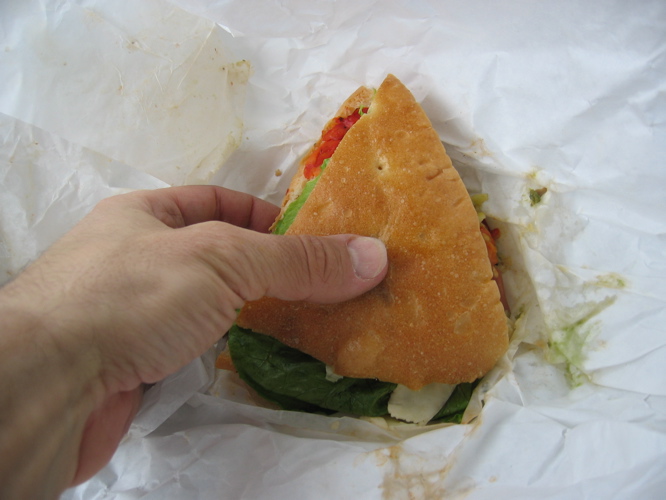
By mile 70 I was in "Historic Independence, Oregon", the former hop capital of the USA, and the site of the final rest stop on Saturday's ride. The rain had lessened to a drizzle, stopped, and started to drizzle again more times than I can remember, and the toilets at the beautiful new town center park in Independence provided a welcome wash for me and my water bottles. Sheltering under a tree from the renewed drizzle, I addressed myself to the serious business of dealing with the next quarter of the everlasting Italian sandwich. I also sampled a little of the Stilton, which was excellent.
Back on the road again, there was suddenly traffic! Where it came from I never figured out, although the road now has a number, Hyw 51. Then my 'phone started vibrating in my jersey pocket, and I pulled it out, thinking that it was probably my son trying to call me back. But no, it was Nanette, glad to know that I was riding, and wanting advice about her camera. (Nan and I have identical cameras, purchased at the same time after one of Don Bolton's rides a couple of years ago.) It was good to hear from a herd member and be reminded of the many ways that connect with each other.
While talking to Nan I had dismounted and wandered under some trees, to put a little distance between me and the traffic noise. When I tried to get back on my bike, I found that my left sandal would not engage with the cleat. No surprise there: I seemed to have collected a baseball-sized clod of something that behaved very much like chewing gum. Kicking, shaking, scraping and jumping had little effect, although the size of the lump did go down to that of a ping-pong ball. It turned out to be made up of forest debris and pine sap; I finally removed the major part of it only after I arrived home and could apply copious amounts of alcohol and elbow grease.
I had consulted with Susan Christie about the best way to get from Independence to Champoeg without repeating That Hill, or an alternate one on Doakes Ferry Road, which looked steeper, if not as long. The Official Bikeway map does in fact suggest an alternate route: cross the river at the Buena Vista Ferry, wind up the valley on Riverside Road and into Salem on River Road, and then across the Hwy 22 bridge in Salem to get back to Hwy 221 and the Wheatland Ferry. This is probably very scenic, but the winding added more miles than I wanted to deal with, and the two ferry crossings would add more time. Susan had denied knowing this area well, but suggested riding into Salem, adn then picking up the Monster Cookie route out to Champoeg. This seemed like a great idea to me, and I had printed out a copy of the Monster Cookie route map at Tim and Lynnette's condo in Eugene — isn't the internet wonderful!
The drizzle had stopped and the road was dry, and as I headed North I could see "That Hill" from Saturday's ride disappear behind a bank of clouds to the North-west. I was congratulating myself that I was going to be heading North-east into Salem and avoiding the rain when the first drops hit my face. A mile or two from Hwy 22 there was a straight stretch of road, and I could see a couple of hundred yards ahead a veritable wall of water. It was still quite dry where I was riding, but clearly this was going to change quite soon. I stopped and put on my Team Jacket and headed into the deluge. When I reached Hwy 22 I just kept on going towards Salem, with no real idea how far it was, and nothing to do but pedal. Each truck that passed me sent a plume of dirty water over the road shoulder, my bike, and me. Fortunately it was still quite warm, and once I had resigned myself to being wet again, the water was not unpleasant. I wish I could say as much for the traffic.
I passed Holman Wayside Park, and saw the bottom end of Doakes Ferry Road heading up into the trees: I'm glad that I'm not going that way. Eventually I come to the exit ramp for Hwy 221, which heads up the West bank of the Willamette to Dayton. I know that I need to cross the river, but a sign on the shoulder says "Bikes use Exit Ramp", and so I do. Interestingly, there is also a Salem Bike Club Dan Henry pointing onto the ramp: I wonder which organized ride comes this way? It's nice to be off the highway, but there are no more signs indicating how a cyclist is supposed to get to downtown. Eventually I see a right turn signposted "City Center" and take it. Big mistake. As soon as I'm round the first bend, the shoulder that I'm riding on disappears as another highway merges from the right, and I find myself between lanes 2 and 3 of a 4 lane limited access highway. Thank you traffic planners! The rain is still coming down like a latter day Noah's Flood, but somehow I manage to get to the right-hand fog line (there is no shoulder) and hang in there, amongst the rocks, gravel, road debris and dead cats (no, I'm not making this up) until I cross the big bridge into Salem and emerge onto Center Street.
I've no idea how to find the Capitol, and although there is one road sign, the Salem traffic planners apparently don't want to tell me. I ride into a parking garage on Church Street to insult the Monster Cookie map. There are a few street names on the map and I figure that if I head North through downtown I should be able to find the route without too much trouble. Just as I'm about to leave, a man and a women in smart business suits walk through the garage and stop for a moment at the entrance before putting up an umbrella and continuing onto the street. I look at them. They look at me. None of us says a word.
What I'm really trying to find is a coffee shop. It's now about 4:15 and the thought of sitting inside a warm coffee shop, drinking tea, eating snacks, and getting out of the rain for a few minutes has been what kept me going through the mud and debris of Hwy 22. I know the the Cookie route goes through the city for quite a way, and think that I'll just try to get on it, and stop at the first coffee shop that I find.
Apparently, the good citizens of Salem don't drink coffee. I do find a Mexican bakery on Pine Street, but it's closed. Then a "Family Restaurant", also closed. Finally, a Mexican restaurant. It looks deserted, but there is a sheltered spot for my bike right against the window. I squelch inside. No, they don't have any tea; I might as well have been asking for caviar. I don't really want more food — I still have one quarter of the everlasting Italian sandwich — but I order a quesadia. Do I want pig's head, chicken breast or cow parts on it? Pardon my Spanish, I thought quesadia had something to do with cheese.
I do eventually get an excellent (hot!) quesadia, and some corn chips and fresh salsa to much on while I'm waiting. I hang up my jacket to drip, and clean the worst of the grime off my face in the washroom. I'm hungrier than I though: at least, the food goes down easilly. I talk on the 'phone to my son in Corvallis. The rain hasn't stopped, but I'm getting cold in the restaurant and the dimensions of the deluge have lessened significantly. I head on out and pick up the Dan Henries; I realize that this is a different Monster Cookie route from any that I have ridden.
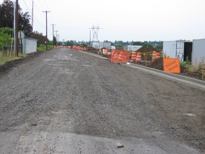
All goes smoothly until McCleod Drive crosses Lockhaven. There is a right turn lane with a traffic sensor, and straight ahead lane with a traffic sensor, and between them a bike lane — with no sensor at all. I eventually cross on the red, wondering if anyone in the Salem traffic department has ever tried to ride a bicycle in this cursed city. I turn right onto Teppner Lane, and am soon confronted with a large gravel pit where the road used to be.
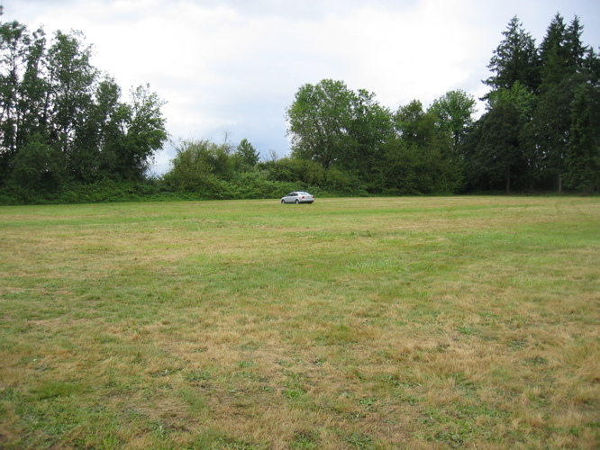
Peanuts, sesame snacks and cheese. It didn't sound like a bad combination. And it probably isn't given some mild Cheddar or creamy Havarti. But a rich Stilton didn't quite do the job. I'd better not push too hard; still, there are less than 10 miles to go, and familiar miles too. Soon I'm turing in at the park entrance, and photographing ground squirrels playing along the roadside as I head to the parking field to find my car. Not too difficult: I seem to be the last one off the course! It's about 6:30; I have just a shade less than 115 miles on the clock, and a ride time of 7:22. It sure looks like I was the last rider home! I don't feel particularly tired or hungry, but after a quick change into the shorts that I've carried with me and the ugly Cycleoregon tee-shirt that i left in the car, I manage to polish off the last quarter of that sandwich. Mmm!
June 2005